
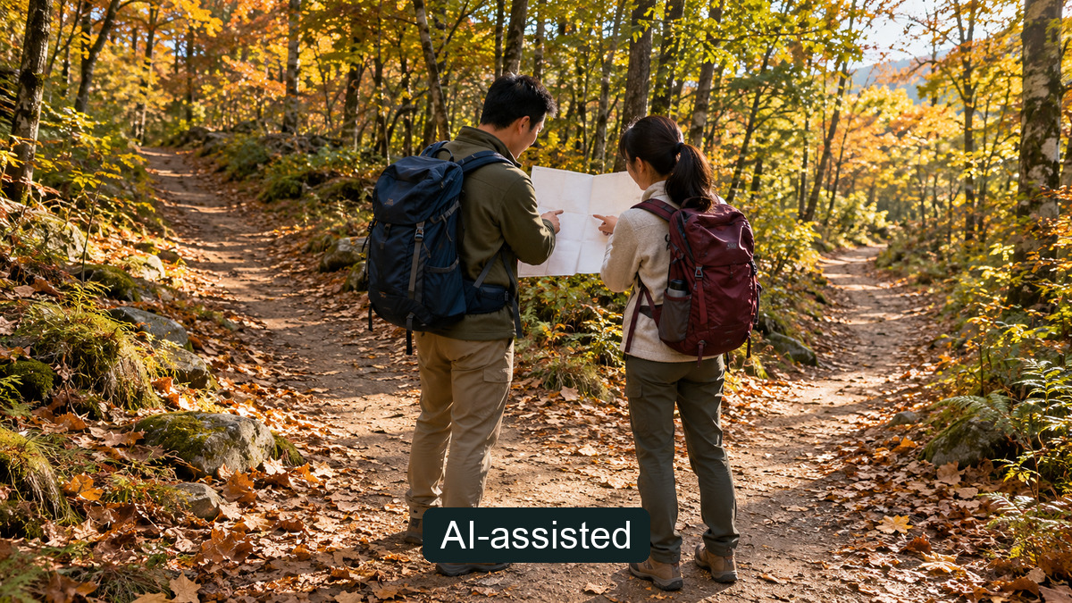
When planning a hike in a Korean national park, a useful question comes before “Can we reach the summit?”: Can everyone in the group complete the descent before sunset? In its October 16, 2026 safety release, the Korea National Park Service (KNPS) describes five levels of trail difficulty: very easy (매우 쉬움), easy (쉬움), moderate (보통), difficult (어려움) and very difficult (매우 어려움). The labels help you narrow a choice; they cannot promise that a route is suitable for every visitor or safe under today's conditions.
Read the grade alongside four route details
The release's attachment explains that its five-level classification considers distance, slope, trail-surface conditions and estimated time. It does not give universal numerical distance, gradient or duration cutoffs for each level, or a comprehensive list of which specific trails have which grade. Do not assume every “moderate” trail takes the same effort or that an “easy” one is hazard-free.
| Check | Question to ask before departure |
|---|---|
| Distance | Does the plan include the return, not just the ascent? |
| Slope | Can your group manage the descent after the climb? |
| Surface | Could fallen leaves, wet rock or wooden steps change your footing? |
| Time | Have you allowed for both directions, breaks and a delay? |
Use the KNPS integrated trail search (Korean) to find the destination's actual route and read its detailed guidance. The search interface may display difficulty labels in a different form; do not automatically equate each interface label with one of the five names in the release. Compare the actual route information with your recent walking experience, how you feel that day and the pace of the least comfortable member of your group.
Work backwards from finishing the descent
An estimated time to the top is not your trip time. Add the ascent, descent, rest stops and a reasonable margin for the group's pace. Check the sunset time for the actual date and location; this release prescribes no universal departure or turn-around hour. If the plan no longer allows a descent before dark—or anyone is tiring sooner than expected—shorten the route or turn back instead of insisting on the summit.
KNPS recommends suitable hiking shoes, extra clothing, water, snacks and warming up before a climb. Its release also cautions that autumn temperatures vary and suggests that visitors with high blood pressure or heart conditions make good use of rest areas to avoid undue strain. This is general advice, not an individual medical clearance; ask your clinician about your own circumstances when relevant.
Verify today's weather and access separately
A grade does not certify that a route is open right now. Before leaving and again at the trailhead, consult the KNPS access-control information page (Korean), expand details for the relevant park or office, check the specific park's trail notice and look up the latest weather. Conditions, alerts and temporary closures can change. Follow on-site instructions. This article does not confirm the current access status of any named route.
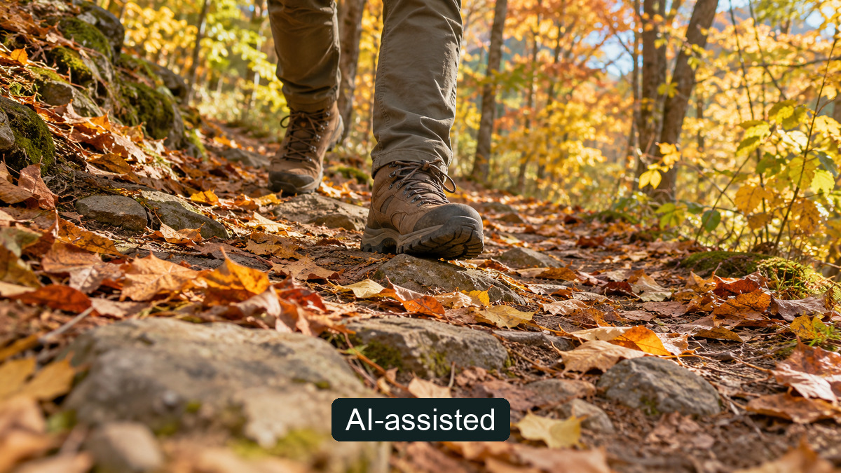
On leaf-covered ground, wet rock or wooden steps, shorten your stride and move slowly. KNPS also describes a steady rhythm on level ground, briefly straightening the back leg while climbing, and cushioning the knee on descent. Its suggestion to take an angled path on a steep descent does not authorize leaving a designated trail or cutting across protected ground. Fatigue often builds on the way down; reassess footing and time rather than treating descent as the easy half.
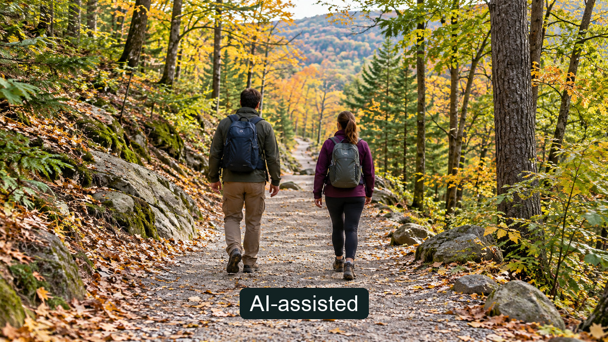
A route-choice sequence: group fitness and pace → five-level classification plus the actual distance, slope and surface → round-trip time, breaks and margin → current weather and access → descent before sunset. Our earlier autumn hiking rescue and 119 guide focuses instead on past rescue figures and communicating your location after trouble occurs. This guide is about making the route decision before setting out.
About the Author
Life Mokcha's editorial team checked the KNPS release and its PDF attachment, then turned the trail-grade and walking guidance into a pre-departure decision sequence. The scenes do not document an identifiable park, current trail grade or live access.
Read this article on Naver Blog (Korean)